Our mission
We believe in access and inclusion for all students and educators to virtual fieldtrips and field lessons. Our belief is that these virtual trips can create a deep, authentic learning experience using situational learning and geographic inquiry. We transition in-person field geography experiences into virtual field experiences for use by the larger community of practice in education.GeoEPIC is a nimble platform for educators to share collections, virtual field trips, and virtual field lessons to enliven earth science topics for learners in the classroom.Engagement and Collaboration
Collaboration and engagement are critical for educators and students to work together to build knowledge and skills. Lesson design leverages the diversity found within the classroom to share and explore place-based experiences with the education content. Sharing materials boost collections and resources for the education community use and adoption via the creative Commons. We meet the educator and student where they are, and together we can produce authentic outdoor trips and lessons for everyone to enjoy.Discoverability and Intuitive Design
The platform is designed for ease of use by educators. The educator has access without the need for downloading third-party executables. Educators can use the repository of collections or take the pieces and parts to adapt content for their classroom. The educator has creative control over what content can be used for just their class or submit their lesson for any educator to access and use. The choice is personalized based on the educator’s needs for their students. Together we can create a landscape for learners to discover education content. This discoverability places the student at the heart of the spatial story as an explorer in the visual landscape, layered and embedded with education content to foster learning progression.Purpose
Success is innovating a way for students to use geo-inquiry to explore the world. We realize with innovation comes risk, but every effort to build these experiences has the potential to move us collectively closer to equity and inclusion for all students to access these experiences.License
Unless indicated otherwise, content is licensed under: Attribution-NonCommercial-ShareAlike 4.0 InternationalPeople
Dawna Cerney
is a professor of geography at Youngstown State University. As a biogeographer her research interests include ecological landscape level change, resilience theory, conservation and sustainability strategies, and applied geography. Dawna’s interest in transitioning place-based experiences to bring to the indoor classroom.
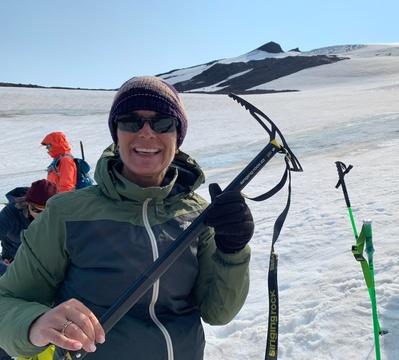
Niccole Cerveny
is a professor of geography and sustainability at Mesa Community College in Arizona. Her research interests are in geomorphology, landscape evolution, Native American rock art conservation and sustainable heritage management. Niccole is an avid explorer and enjoys traveling to remote locations to collect data and ideas to support lesson development for GeoEPIC.
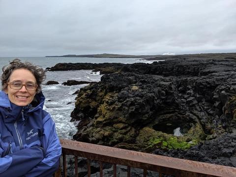
Dianna Gielstra
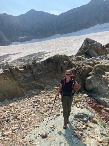
is a spatial storyteller, course designer, and an associate faculty of the Masters of Science in Environmental Studies at Prescott College in Arizona. Research interests include human impacts on the environment, biogeography/successional changes in the environment, and exploring how geodiversity influences biodiversity. Current projects include exploring the use of emerging technologies to engage K-12 learners in science education. Hiking and collecting data for GeoEPIC is a favorite pastime.
Johan Gielstra
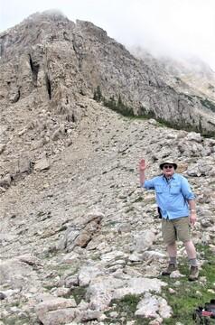
is a software developer and key technical support person for GeoEPIC. He enjoys hiking to help collect data for GeoEPIC lessons.
Lynn Moorman
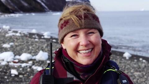
is a professor of geography at Mount Royal University and conducts research in the areas of geography education, geospatial literacy, citizen science, GIScience, and the role of geospatial technologies and visualizations in the construction of people's geographic skills and knowledge. Her work includes remote sensing curricula for industry, government, school boards, and recently, Arctic communities.
Contributors
Lynn Resler
is a professor of geography at Virginia Tech’s College of Natural Resources and Environment. Her research and teaching interests include biogeomorphology and mountain ecotones. She conducts field-based research with her students in the Rocky Mountains of the US and Canada, and in the high elevation ecosystems of the Appalachian Mountains.
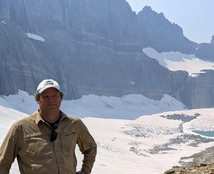
David R. Butler
is the Texas State University System Regents' Professor of Geography Emeritus, and a University Distinguished Professor of Geography Emeritus, at Texas State University. He currently lives in happy retirement in Santa Fe, New Mexico. His continuing research interests are in geomorphology, especially zoogeomorphology; mountain environments and environmental change; and the physical geography and history of Glacier National Park, Montana.